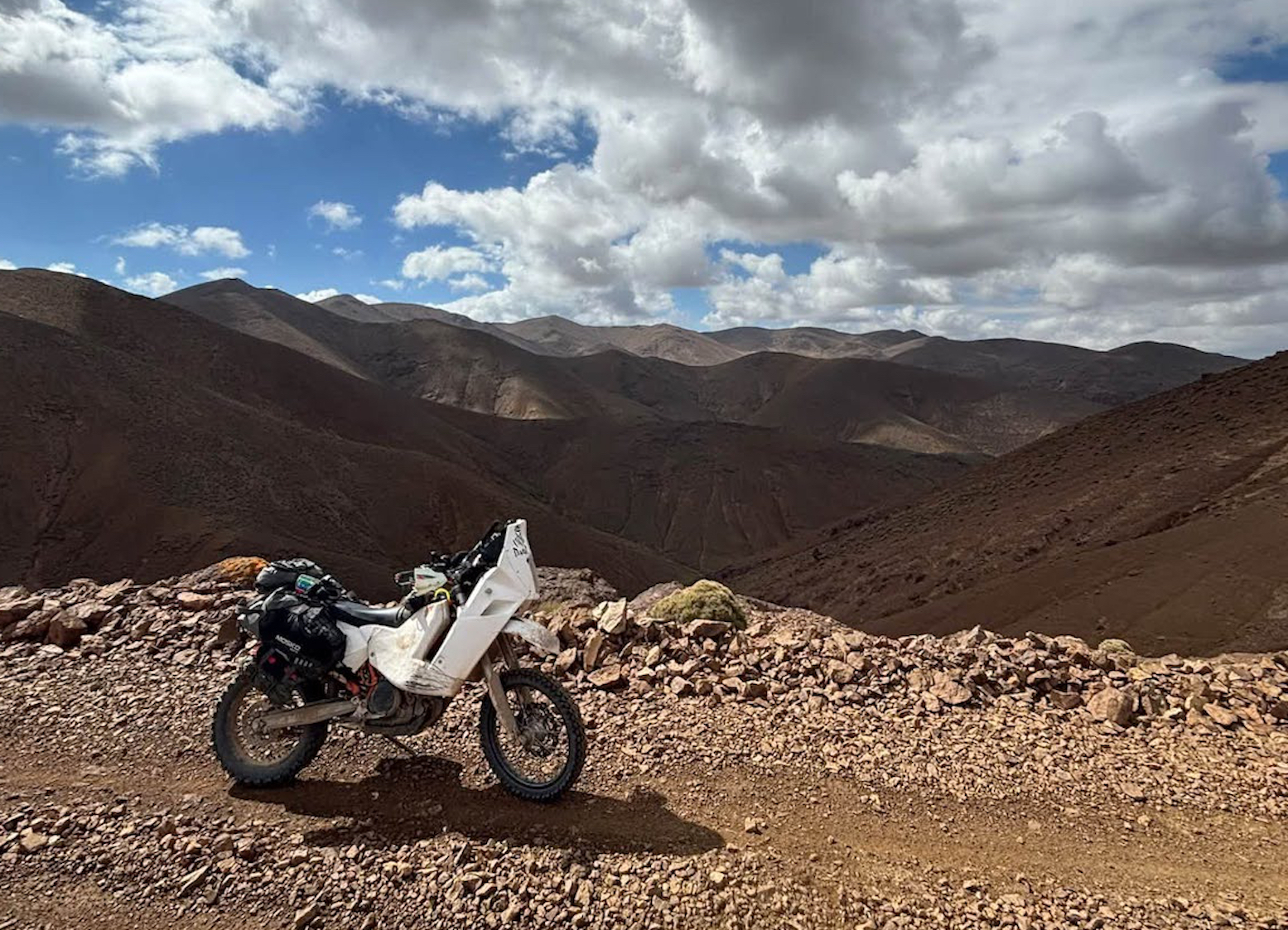

On October 17, nearly a year after we recc’d most of it, a guy called Joni or Max Muster on FB managed to complete the full 900km crossing of the HAT from Agadir via Tizi n Test to Midelt in five days, alone on a 690. His report and pics below for those who don’t do Facebook or the copy on Insta.
Full High Atlas Traverse Solo on KTM 690
Hello everyone, this post will be my review of the HAT. My name is Joni and I’ve just completed the HAT solo in five days. My setup was a modified 2015 KTM 690 Enduro with Mosko R80 luggage. My starting point was Agadir where I did an oil change. Looking back I should have also gotten a new tyre as my set has already had almost 10,000km from my trip to the ;Eye of the Sahara; [Guelb er Richat] in Mauritania.

I did Agadir to the end of H0 on October 12. After that the rest took me four days, one section each day. H1 and H2 I did on 13-14 October. The temperatures were mostly nice so I could ride in a jersey or with a fleece on top. I encountered no snow or ice. When it comes to the difficulty these sections are easy to ride. You probably won’t have a problem with a big bike.

On H3 and H4 I rode mostly with my hardshell jacket because it was quite a lot colder [elevations well above 3000m]. H3 was my longest day. I had to do some repairs so only got going around 10:30. I arrived in Imilchil right on sunset around 18:00 so the H3 took about 7.5 hours to ride (with breaks and photos).

H3 I would rate hard because of the following two sections. First the marked landslide on the map at 31.90964, -5.82368. There are two landslides here. The first one has enough space on the side to get around with a bike slowly and carefully. The second one you have to go over the top. Here I made a mistake. The track after the landslide has on the inner side of big rocks. There is about 1/4 on the side of the slope down where the dirt is compacted and good to ride. I did not get there right away and drove to the big rocks. I had to go slowly back to get momentum and then drive up the hill on that outer part.

The second part is the riverbed at 32.01128, -5.74896 east of Two Mast Hill (also Stage P-TMT). This is what I would call an enduro section. With my 690 I don’t have a big bike but because of the small rocks it’s easy to dig the rear wheel in when you don’t have enough momentum. While trying to keep a certain speed you have to dodge many big rocks that could potentially break something on your bike.

H4 I did on the 16 October. I was sceptical of that section because of all the Alerts on the HAT map (above). I started around 8:30 and got to Midelt at around 13:00 – so only 4.5 hours. I didn’t plan on going the summit of Jebel Ayachi because of the weather forecast a storm around 14:00 so my priority was to clear section H4 by then.

I would also rate H4 as hard due to the 10km either side of 32.51688, -4.75069. The first 100km from Imilchil was mostly road or good piste. The real off road starts after the village Taârâart. It is a little rougher than H1 and 2 but still good. You ride up the mountain and then just follow tracks. The landslide at the waypoint above was okay to pass. I didn’t walk around to look for a good way. When I rode up to it there was a slightly visible trail on the slope so I committed and used my speed to get over it.

The following zigzags up the mountain after the lake (above) are in really bad condition. Big rocks, often only one good line and mostly on the side of the drop. I did this part except for the turns with a bit of speed mostly which gives some stability, but this makes it much more dangerous because you can’t correct mistakes that fast! If you want to do that part BE CAREFUL! The last 30km are rough but not as much as the preceding ~20km stretch.

Overall, the scenery was really nice. H1 and H2 are easy to do solo but for H3 and H4 you should do with a partner so you could help each other or so there is someone else that could tell you to turn around if it looks to unsafe  .
.

Leave a Reply