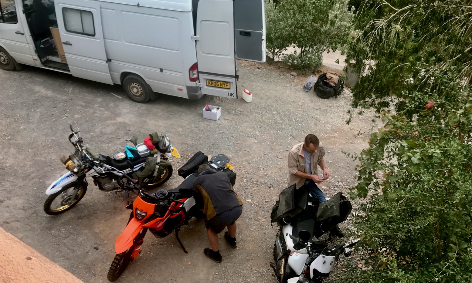
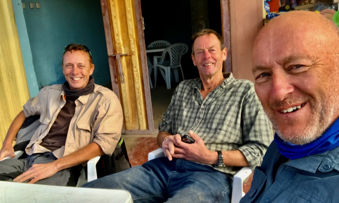
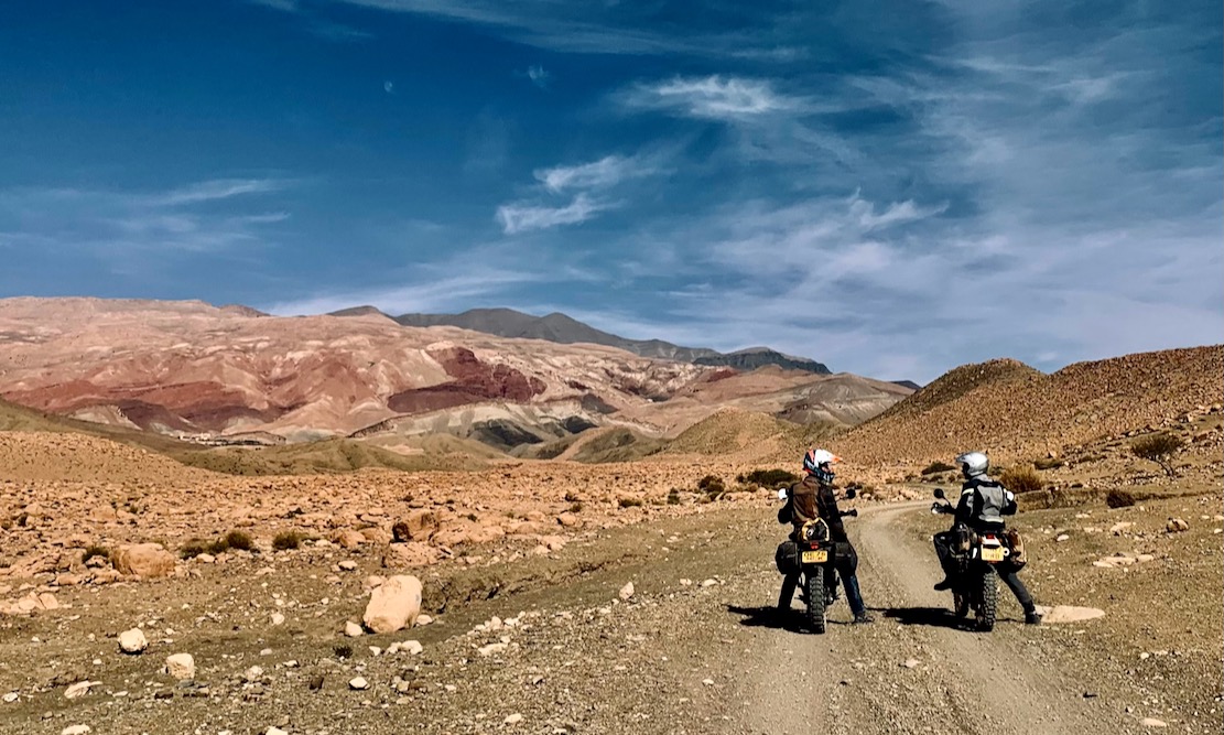
Me, Bob and Simon left Ijoukak, 100km south of Marrakech to recce the High Atlas Traverse. The H.A.T is like the TMT, but follows the mountain watershed via the highest motorable passes, and is now online for all to download for free. Only about 15% overlaps the TMT. Unfortunately the winter of 2025-6 turned into one of the wettest and coldest in Morocco for decades, so with the eastern stages snowed under, it’s unlikely anyone will manage the full until late spring.
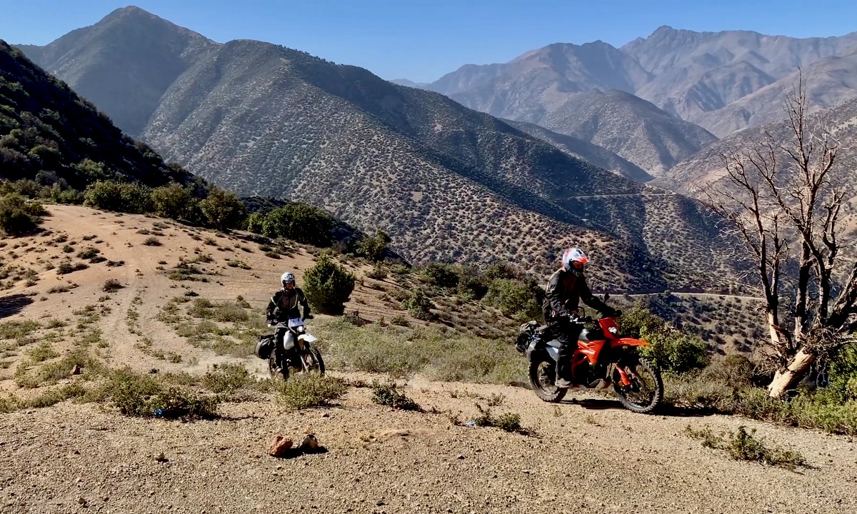
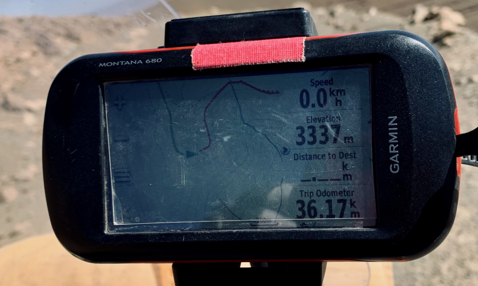
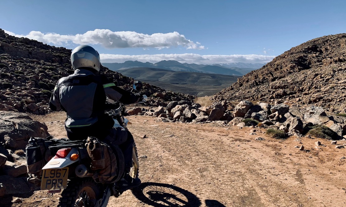
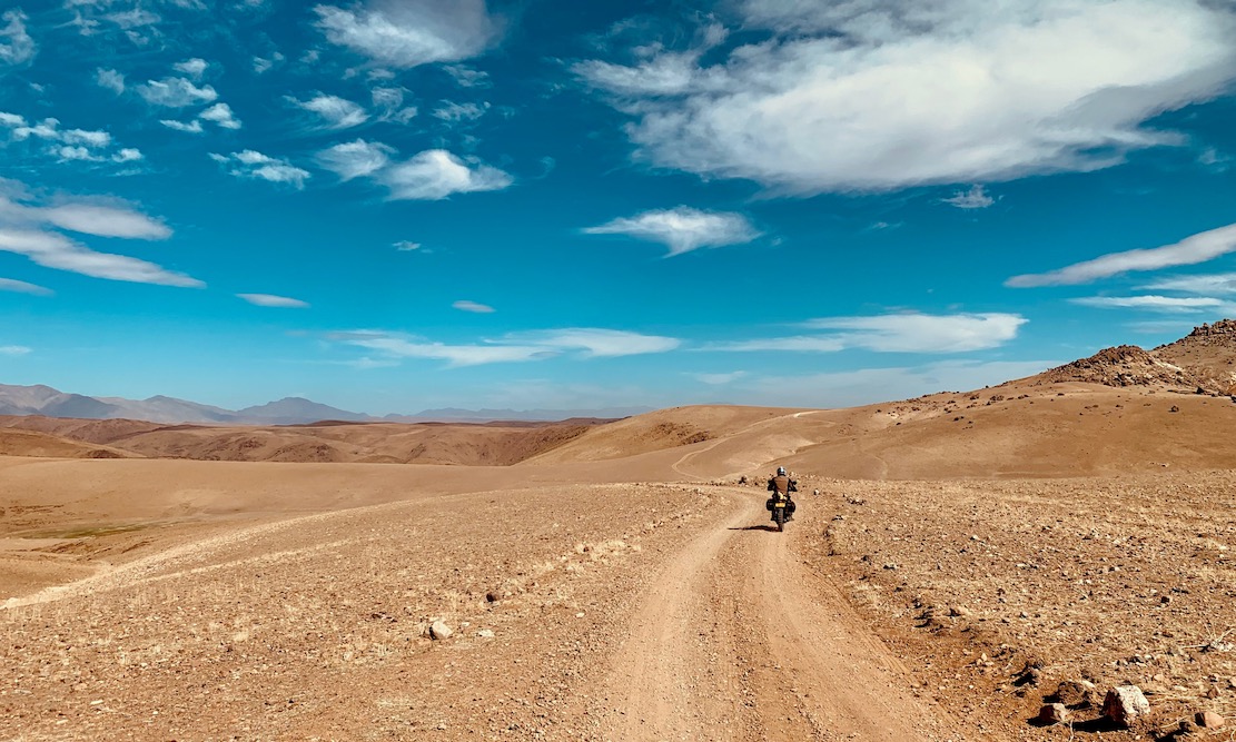
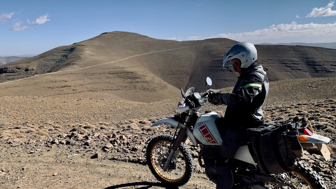
I spent the summer tracing possible routes off aerial imagery. Some trails I knew from my M4 book, but about 30% of the tracks were unknown, reaching up over 3300 metres (11,000′), and which may not actually be passable. We were here to find out. Simon was on his ’93 TTR350, I’m on my 250 Serow donkey, and Bob’s on a brand new KTM 390 Enduro R.
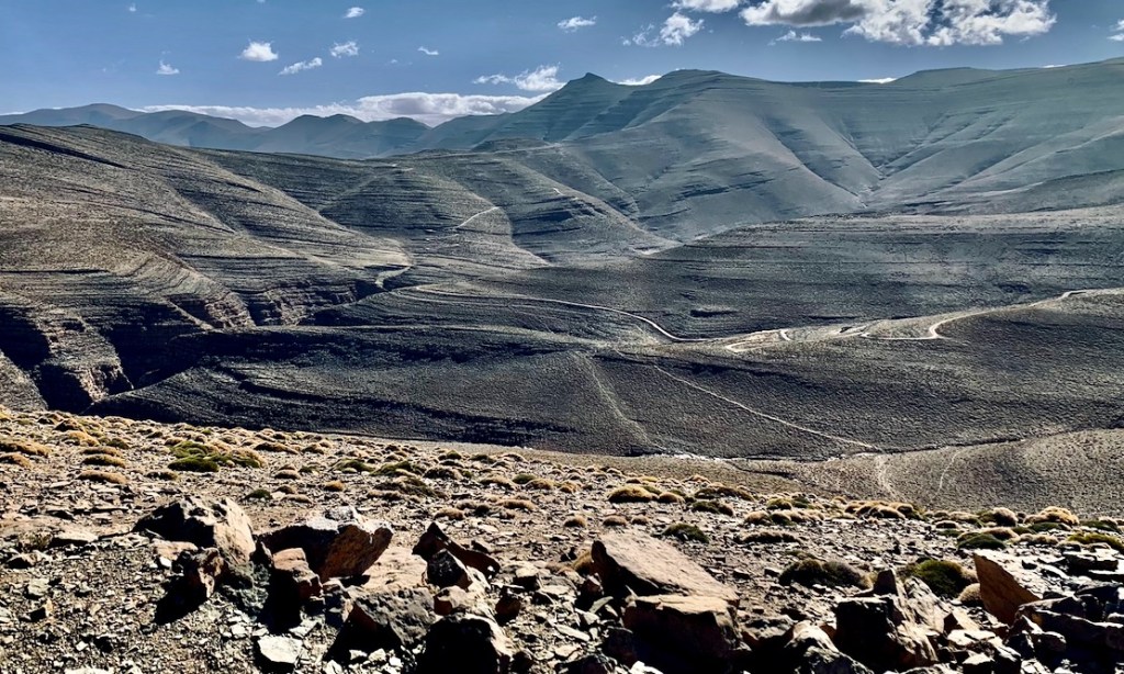
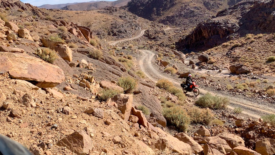
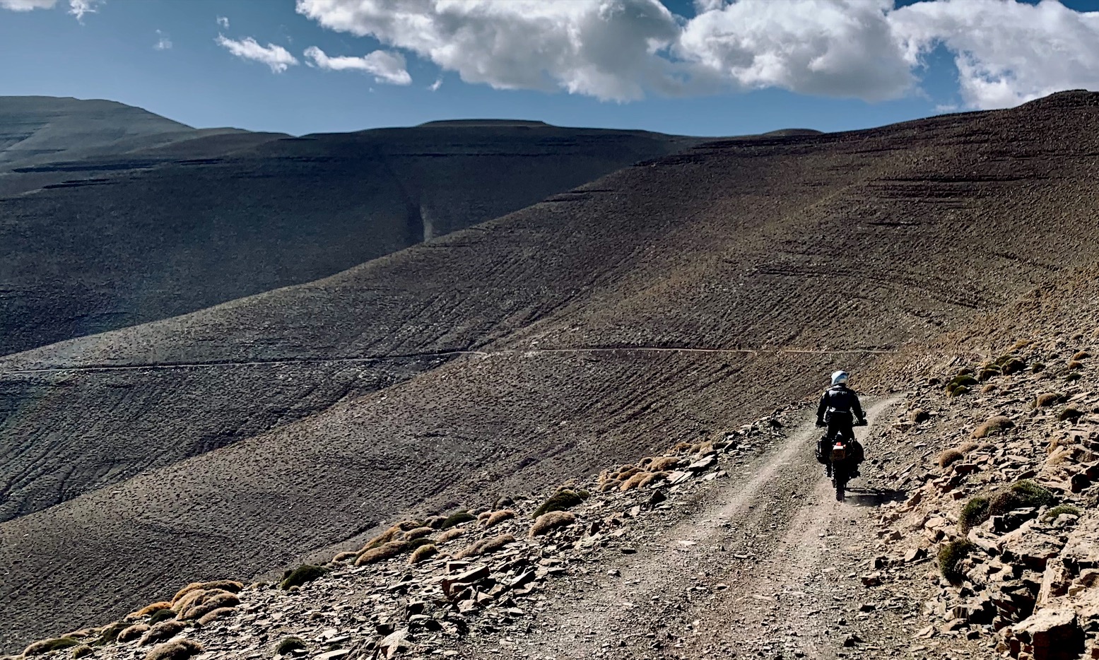
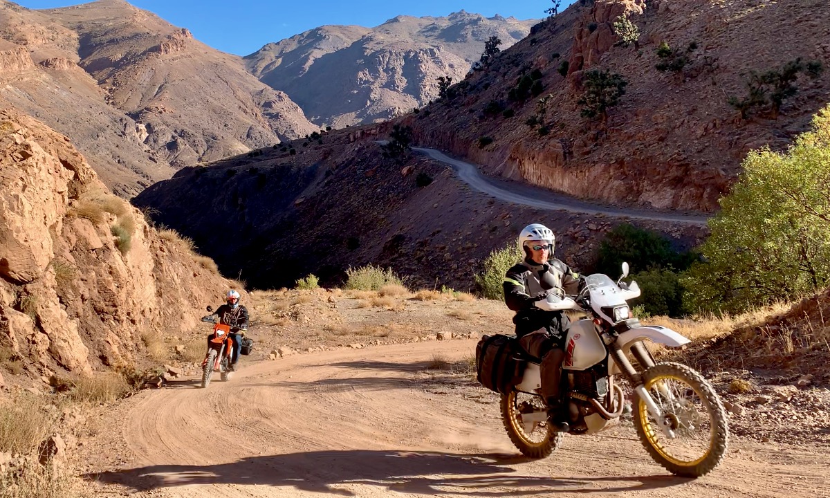
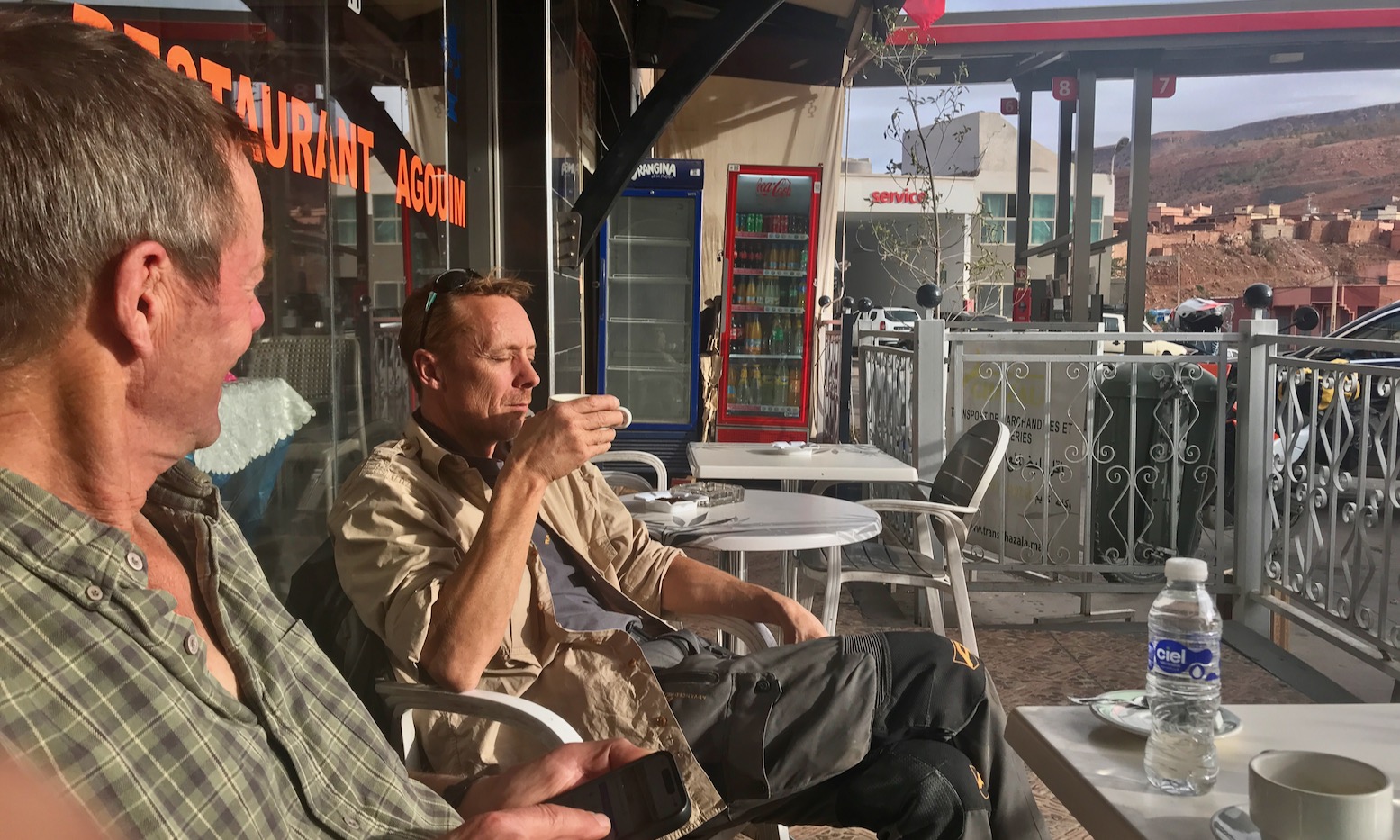
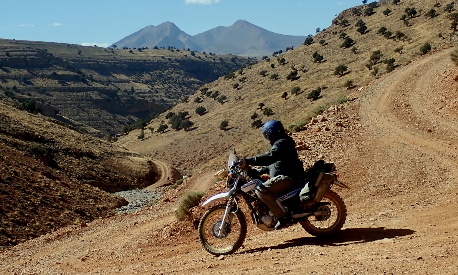
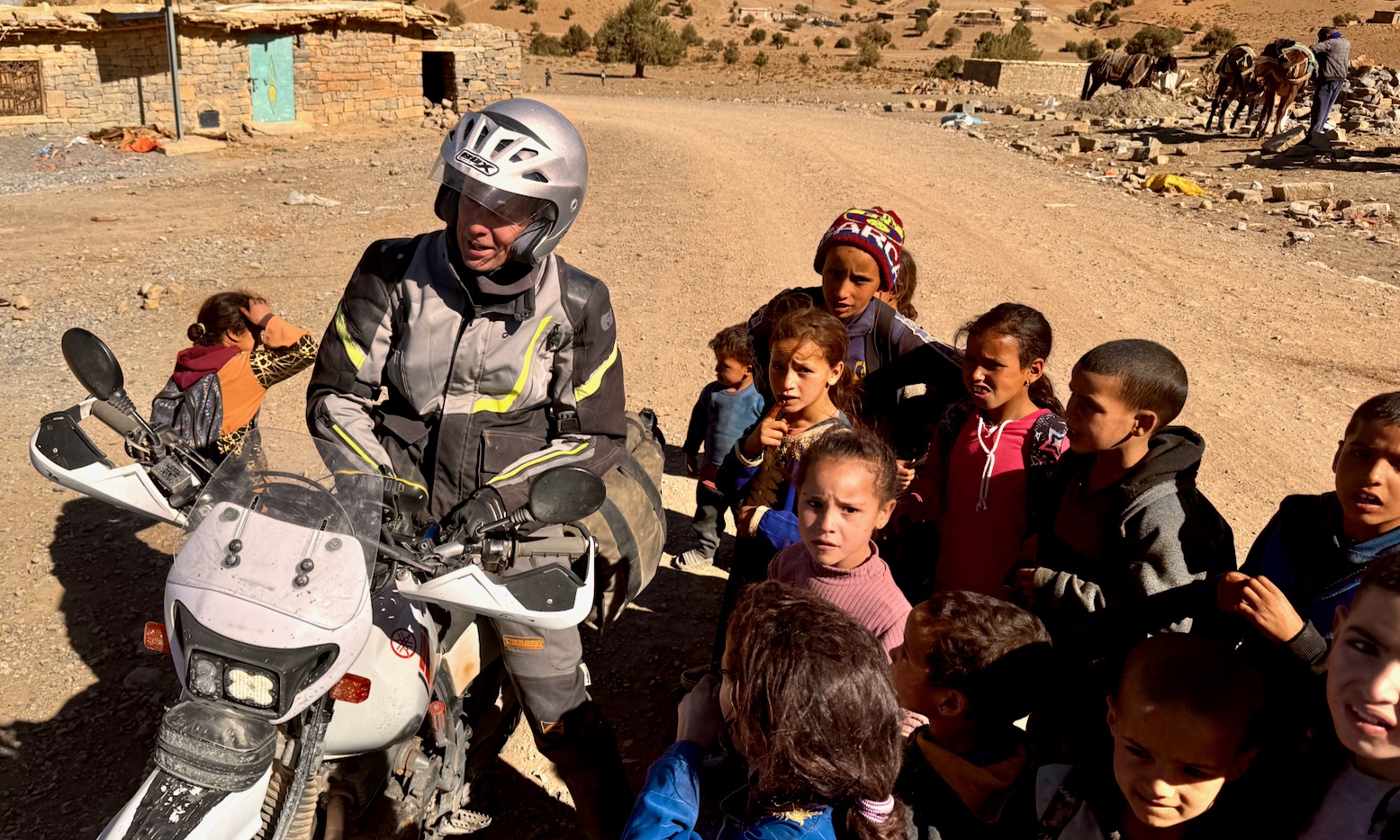
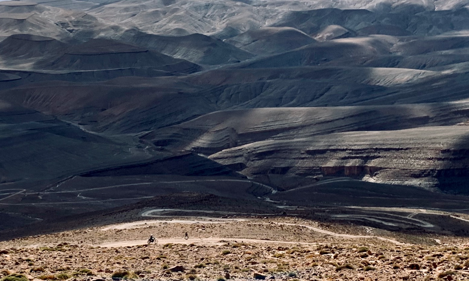
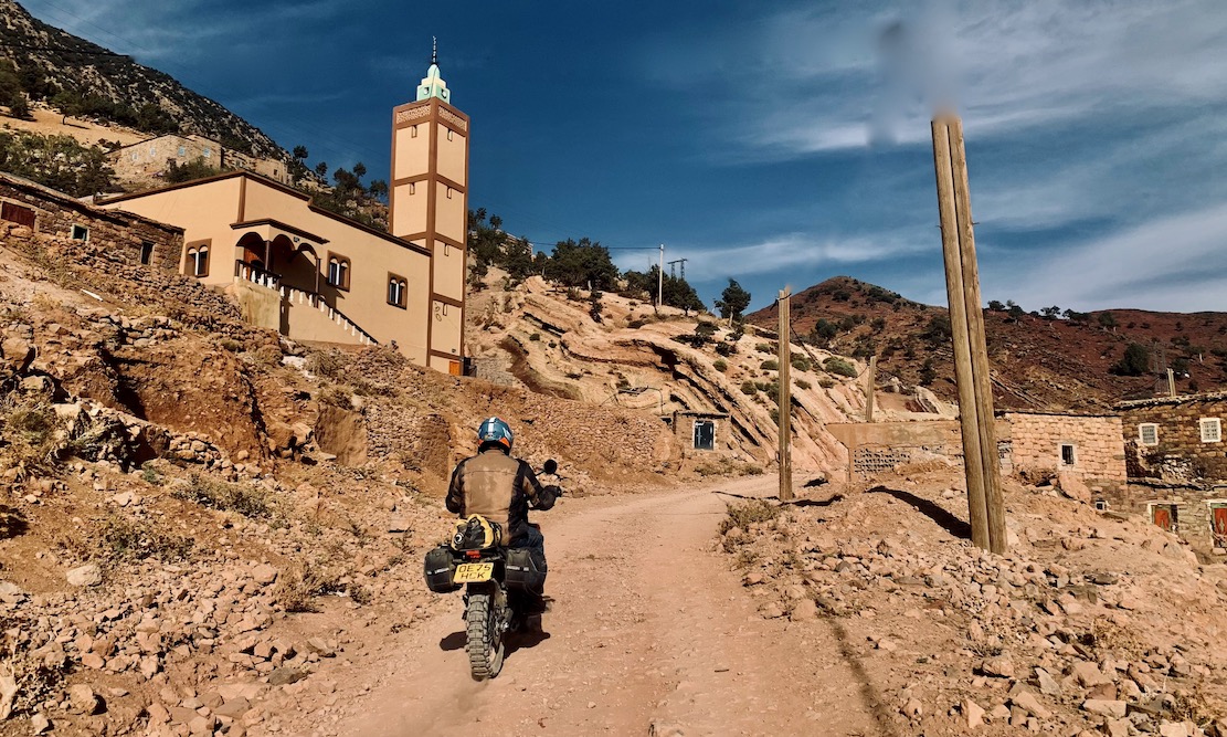
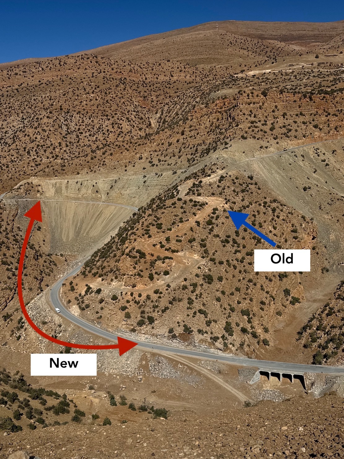
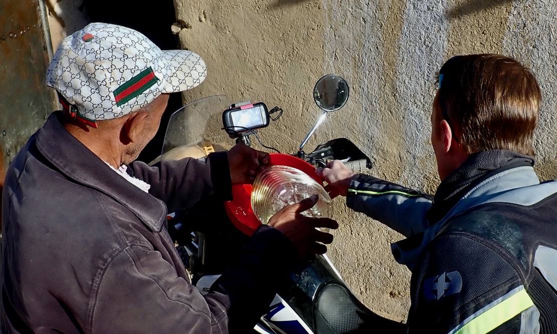
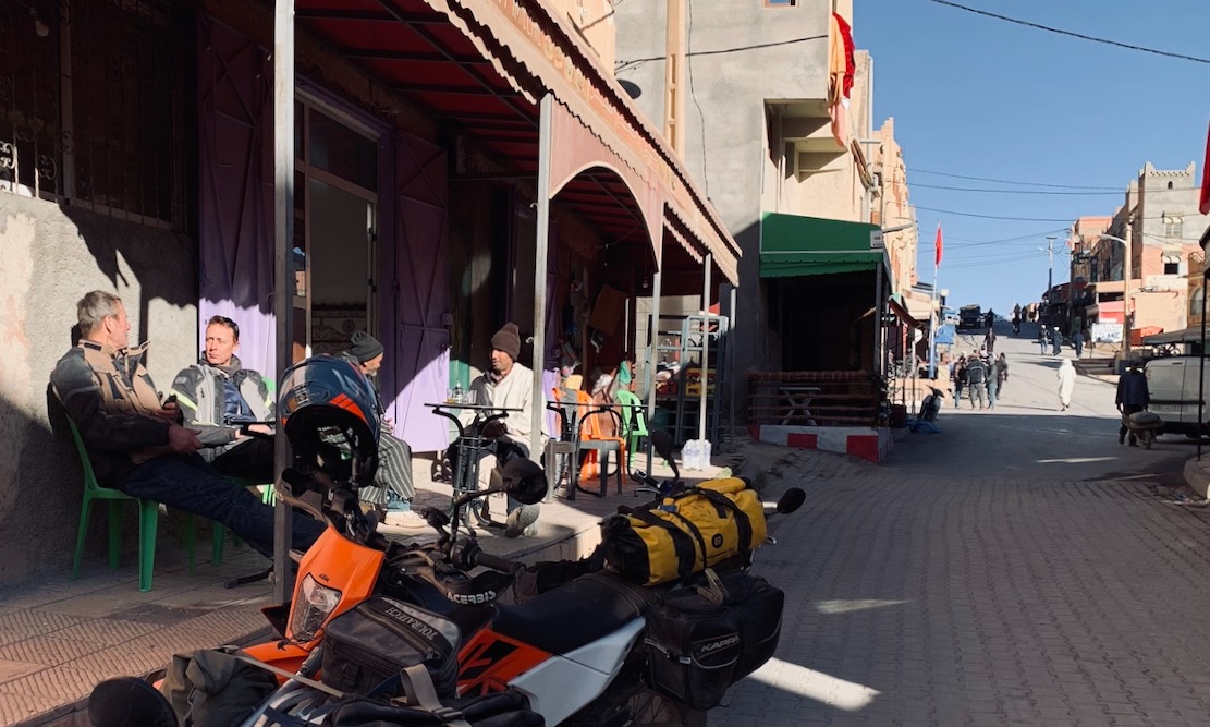
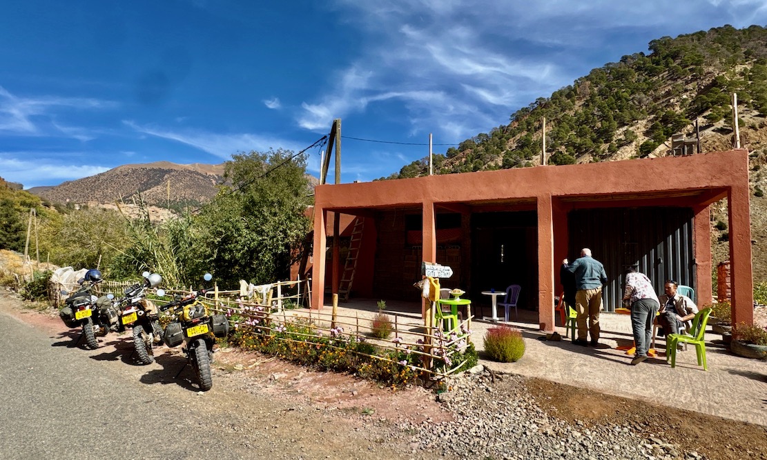
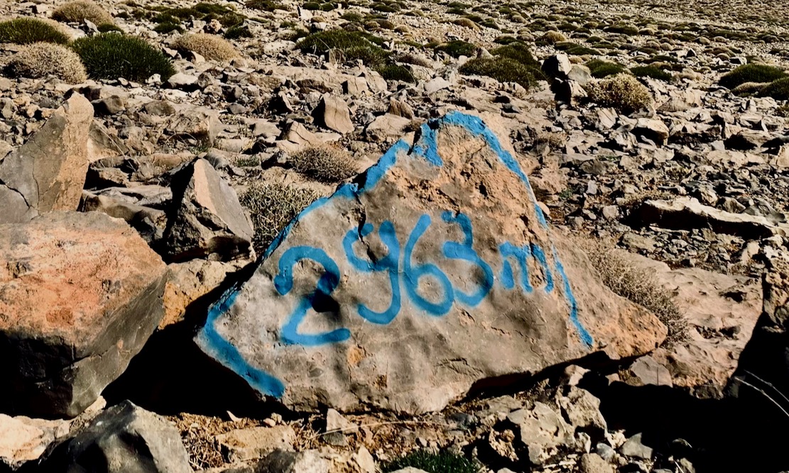
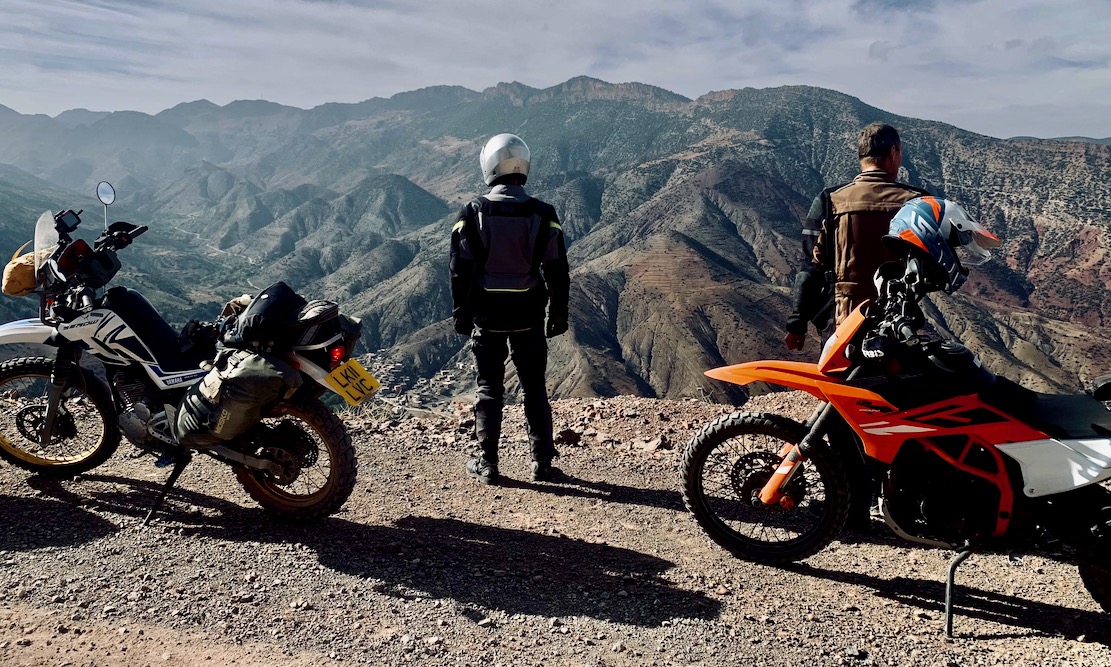
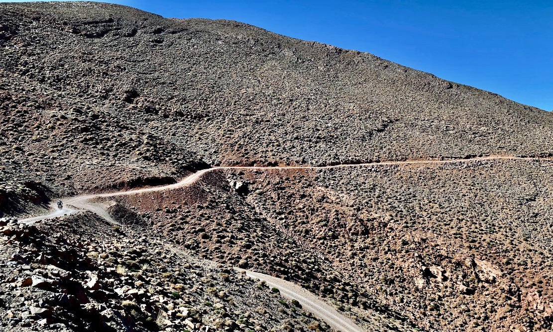
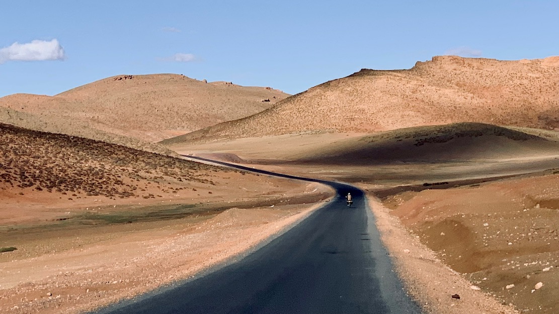
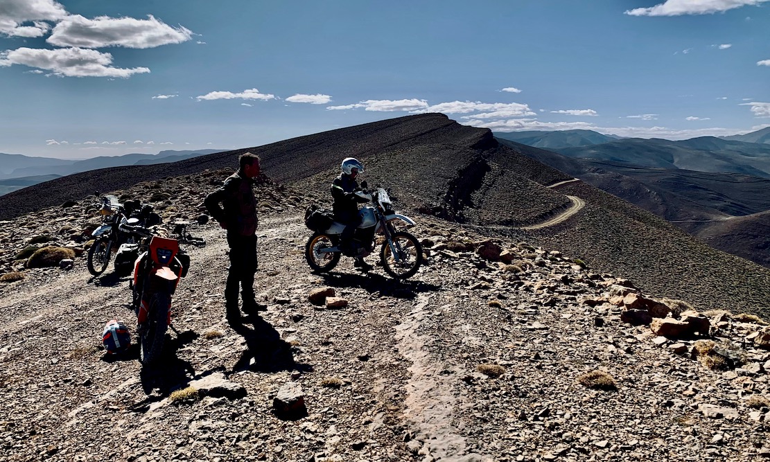
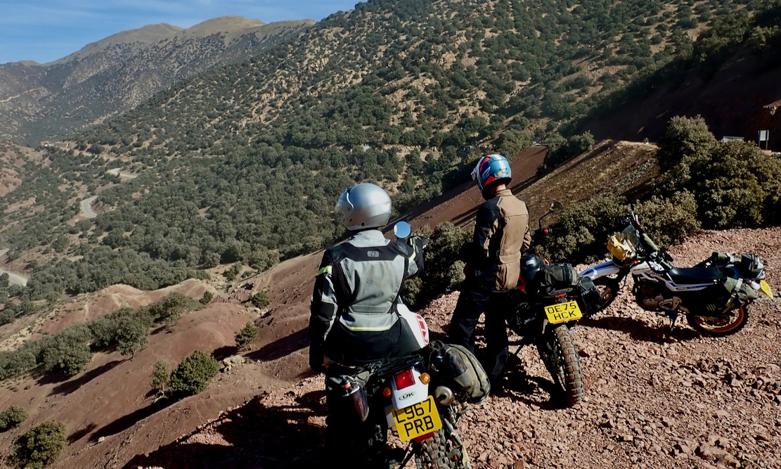
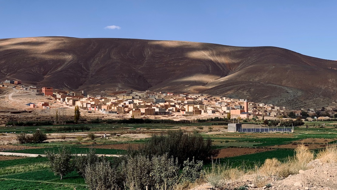
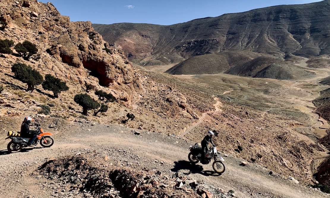
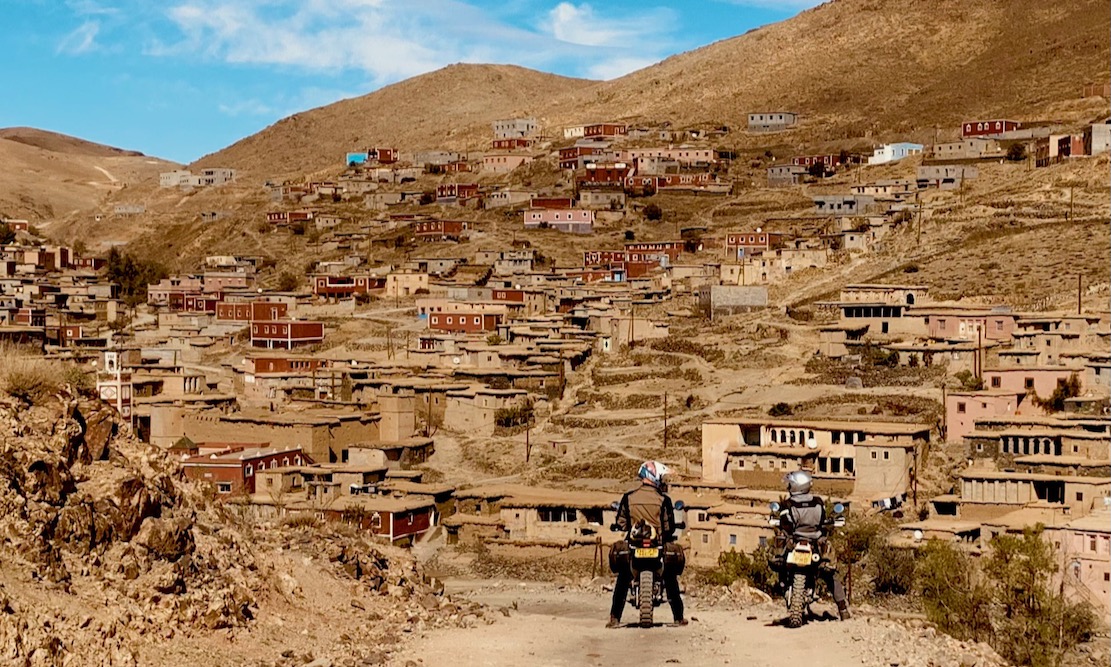
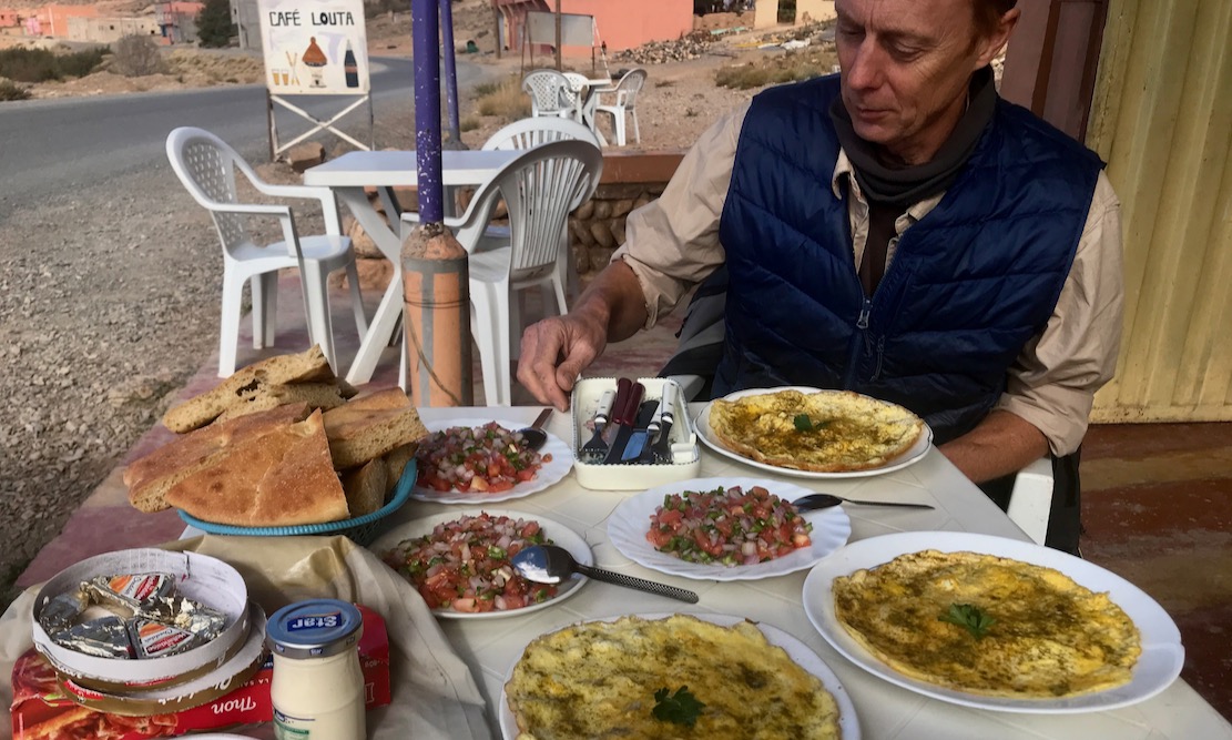
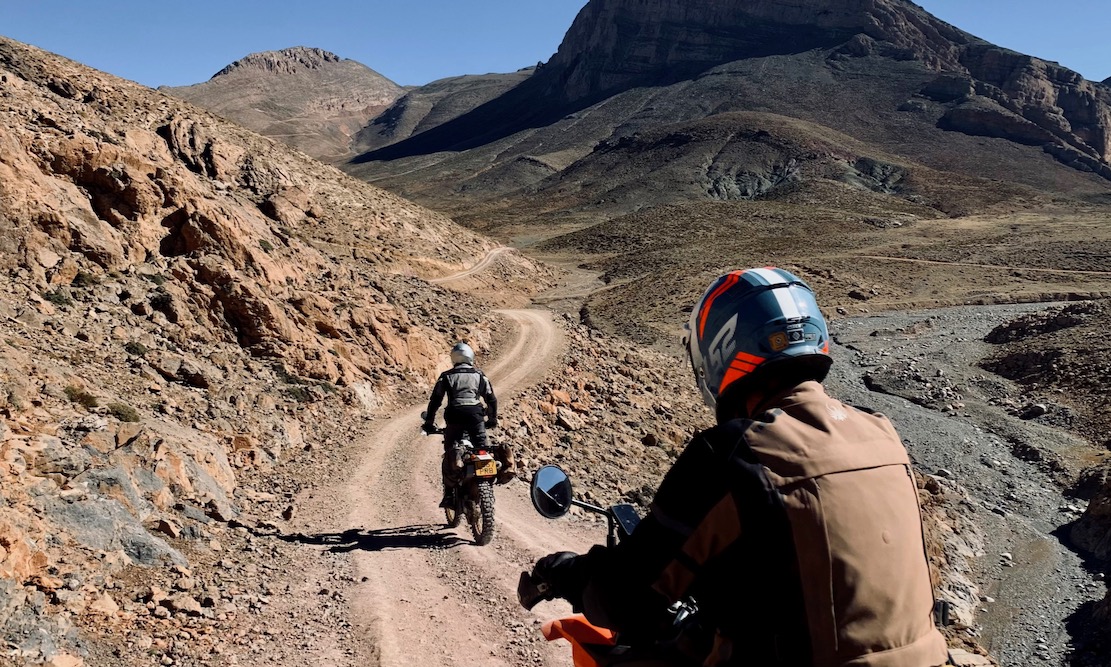
H1 Coming into AbdallaWay above the tree line on H3H1 out of IjoukakFuel and coffee break in Aguim (H1)Time to leave the mothershipH3 Zerkane crossingSimon gets mobbed by his TikTok fansH3 The trail sweeps down into DadesH0 near the Tizi n TestHighest through-trail in MoroccoBob & a mosqueH3 First 3000-m colJob done. Enjoy the H.A.T!New road finished east of ZerkaneH1 Ait Qalla plateauA shot of v-fuel in AnerguiH1 near TiliwineImilchil, start of H4TTR still breathing at 11,000′Last few chilly miles to Bou AzmouH2 Lunch on the Demnate roadH1 Jebel RhatChilly but cozy auberge near Bou AzmouOn the watershed at 2963mH2 Looking down on the old Demnate roadH3 Nearing the Zerkane colOver the newly surfaced OuanoH3 Breather on the Zerkane colTizi n Test KM0. The H.A.T lays before usTilmiH3 Hidden valley on the Zerkane crossingH1 Ait QallaCafe Louta in TilmiH3 Leaving Ism Souk for the high crossingH3 This high trail goes on for 65km
Hello Nadine, what a moto or car can do, so can a sidecar with a bit more effort. As we found it there was nothing that would stop a sidecar.
Accommodation is on the map and great food is everywhere – it’s only Morocco 😉


Leave a reply to penguinhard1f8dffcaab Cancel reply