

The revised v2.0 map for the High Atlas Traverse now includes an alternative crossing of the watershed when the very high traverse from Ism Souk (below) remains under snow, as it is at the moment following the exceedingly snowy winter of 2026. With a maximum elevation some 300m or 1000′ lower, the alternative crossing will thaw out sooner than Ism Souk where the trail often follows the cooler north slope which holds snow longer.

Trail Description
Having verified the the crossing from Ism Souk is still blocked, stay on the road, pass Zaouiat Ahansal (village fuel, lodgings) and continue up the Ahansal valley. Leave TMT-P at the junction in the trees and stay on the road up onto the belvedere (amazing section; macaques) to reach the Tammast plateau with a view down onto the Cathedral crag at Imsfrane.

Say on the road, go over the nearby col then keep straight at the junction where TMT-N comes from Zerkane. This road ends in about 10km at Tafraoute village below a big mountain (above). From here follow trails winding north and east, turn right at the red arrow (see below) and continue up to the 3034m watershed, then descend to Tilmi (lodgings; cafe; village fuel).

We did this crossing on Himalayan 450s on the first HAT recce in April 2025, at a time when the Ism Souk crossing was under deep snow.


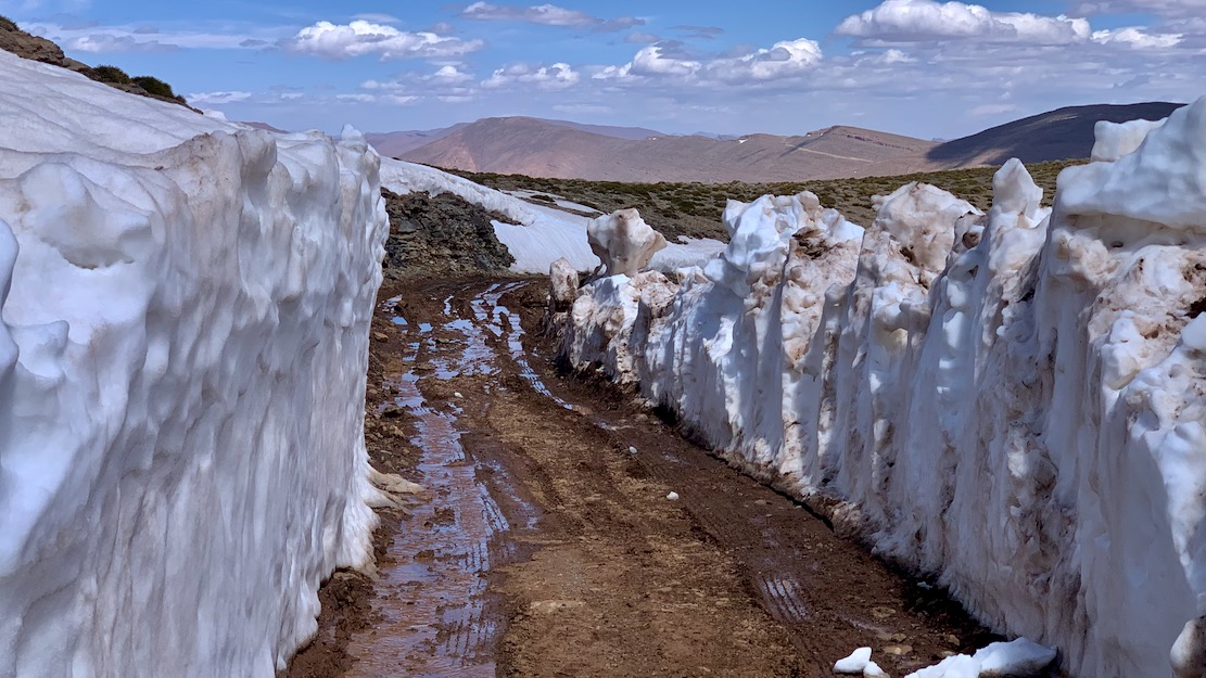


And when the Ism Souk stage thaws into good shape, you can follow it by taking green H3.1 in reverse from Tilmi. Then make your way to Zerkane and recross the watershed back to Tilmi, head north on the Dades road over the Ouano pass (below) to Bou Azmou where you can take TMT-N as far as NN junction, turn right and still end up in Imilchil. You’ll have crossed the watershed no less than four or five times in a day, seen some amazing views, and be ready to tackle H4.

Leave a Reply