The video above, shot in November 2025 by Ian Lund gives a good impression of Stage K from Merzouga across the ‘Black Rock Desert’ and over to Alnif, with a detour up to Gara Medouar outcrop, just off the road.
Along with Stage S to Foum Zguid, Stage K is one of the two desert sections on the TMT which some moto riders worry about. And if you’re on an inappropriate bike (like I was in 2013), then so you should! Ian’s riding a KTM 500 EXC: light, pokey and with great suspension, it’s about as appropriate as they come on the TMT, providing you can get your feet down, or aren’t bothered if you can’t. He rode K and L to Dades and via Gara Med, in one long day.

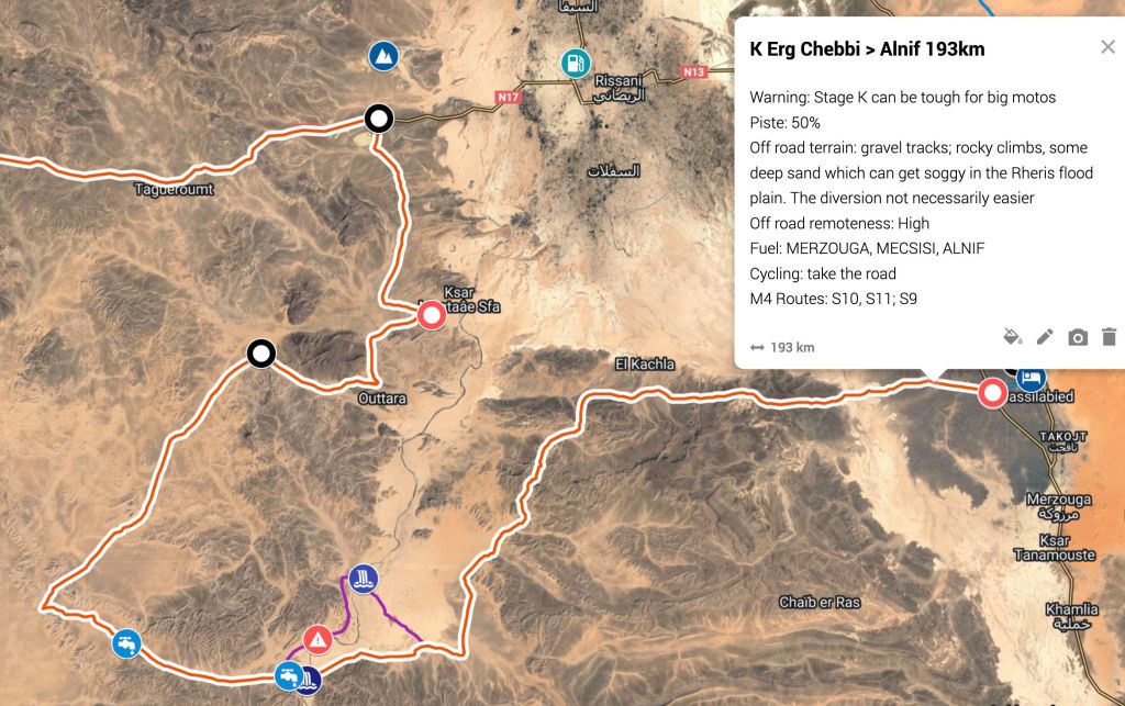
Stage K (below) starts easily enough out of Merzouga with a fast blast west across the Ziz river flood plain (1:30) before turning SSE into the rocky hills. We did this bit in a Toyota (above) before rains roughed it up a bit last year. The trail then turns west into the flood plain or inland delta of the parallel Rheris river. In the vid you can see the soggy tracks in places. They gave me a fright in 2013 on a hefty BMW F650GS twin. Though it was low-saddled and had loads of grunt, now I wouldn’t dream of tackling TMT-K on a bike that heavy, or the TMT at all. Even back then it was not the sort of bike I’d ever own, and now I’m less young and strong, my bikes can’t be light enough.
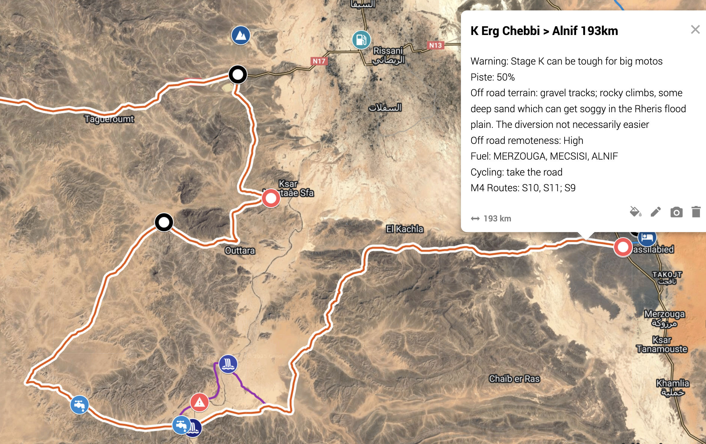
Ian notes hereabouts the TMT tracklog doesn’t correspond exactly with current tracks on the ground, a common feature when crossing open desert where loads of tracks continually braid out and rejoin, and which can be unnerving to a desert first-timer. In this sort of terrain you’re best navigating ‘ground to map’, led by what’s under your tyres not on a tracklog on a screen, while making sure you’re going in the right general direction. Floods come and go and, unlike the mountain single tracks, desert plain routes change as people find the best way, but not by much. As you’ll see there’s a certain amount of hunting around to relocate the perfectly clear piste you (or the tracklog) somehow strayed from a short while back. Luckily a tracklog still provides a reassuring handrail which must be why the TMT has become such a hit.
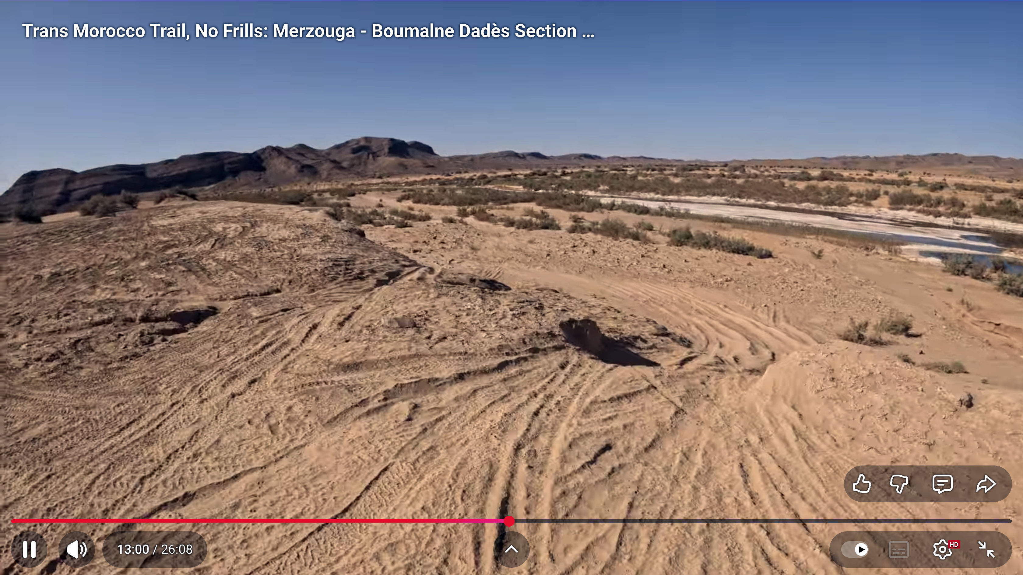
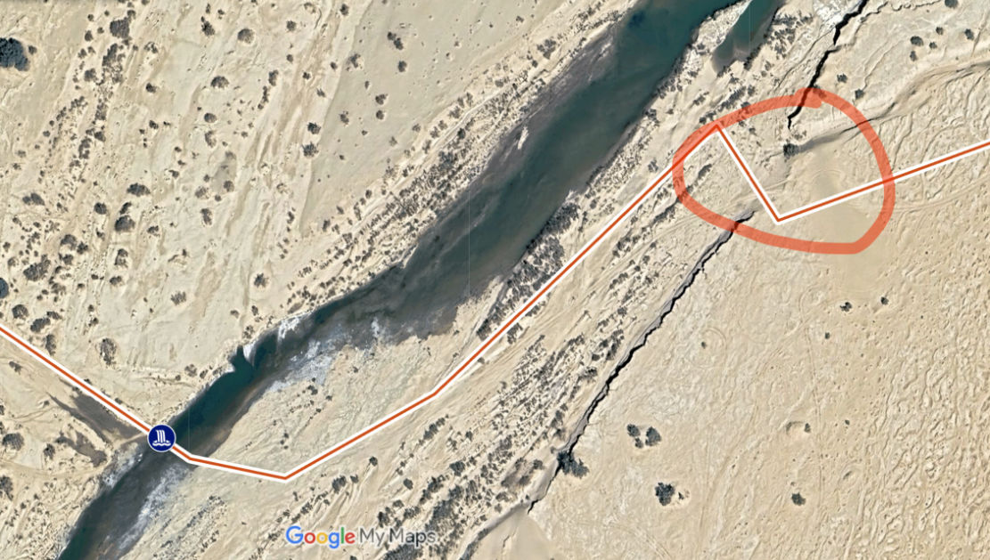
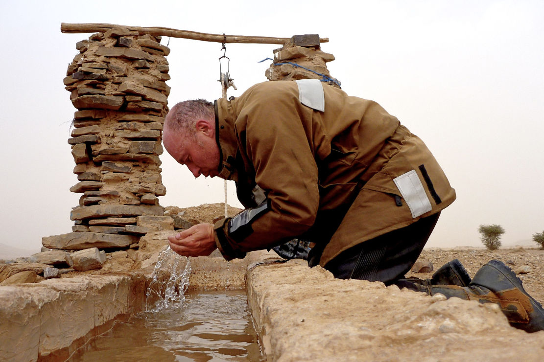
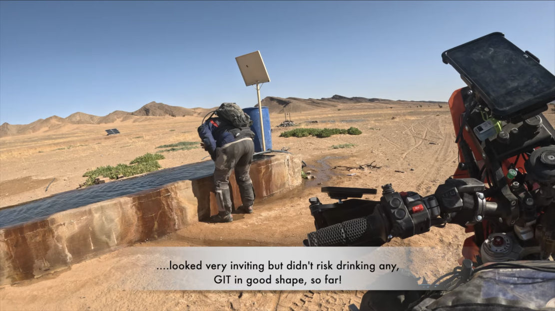
At around 13:00 Ian reaches tracks leading down to the crossing point (above left) which I recognise from years ago: a bank carved above the river channel (right) which, when I was there on the BMW, would have been a struggle to reverse, had I needed to turn back. The nature of this bank must change with each passing flood and each vehicle which crawls up and down it. Ian carries on, perhaps looking for a better spot which may have evolved over the years. I recall doing this too, before crossing where I did. Soon he gets to the well on the far side (below right), now powered by a solar pump.
Along with sat imagery, verified tracklogs, phone nav and a better than ever range of bikes and gear, we’re lucky to have high-def vids like this to give us a preview of what the TMT is actually like and whether it’s for us.

Leave a comment